Papun (dystrykt)
| dystrykt | |
| Państwo | |
|---|---|
| Stan | |
| Populacja (2014[1]) • liczba ludności |
|
Położenie na mapie Mjanmy 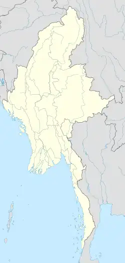 | |
| 18,07659°N 97,36866°E/18,076590 97,368660 | |
Papun (birm.: ဖာပွန်ခရိုင်, ang. Pharpon[1]/Hpapun[2] District) – dystrykt w Mjanmie, w stanie Karen.
Dystrykt leży w środkowej części stanu. Od wschodu graniczy z Tajlandią[2].
Według spisu z 2014 roku zamieszkuje tu 35 085 osób, w tym 17 983 mężczyzn i 17 102 kobiety, a ludność miejska stanowi 49,4% populacji[1].
Dystrykt dzieli się na township: Papun i subtownship Kamarmaung[1].
Przypisy
- 1 2 3 4 The 2014 Myanmar Population and Housing Census. The Union Report. Census Report Volume 2. Nay Pyi Taw: Department of Population Ministry of Immigration and Population, maj 2015.
- 1 2 District Map - Kayin State. Myanmar Information Management Unit, Government of Canada. [dostęp 2016-07-23].