Tetima Hu
.jpg) | |
| Położenie | |
| Państwo | |
|---|---|
| Lokalizacja | |
| Wysokość lustra |
801,5[1] m n.p.m. |
| Morfometria | |
| Powierzchnia |
267,27-455,27 km² |
| Hydrologia | |
| Rzeki zasilające | |
Położenie na mapie Sinciangu  | |
Położenie na mapie Chin 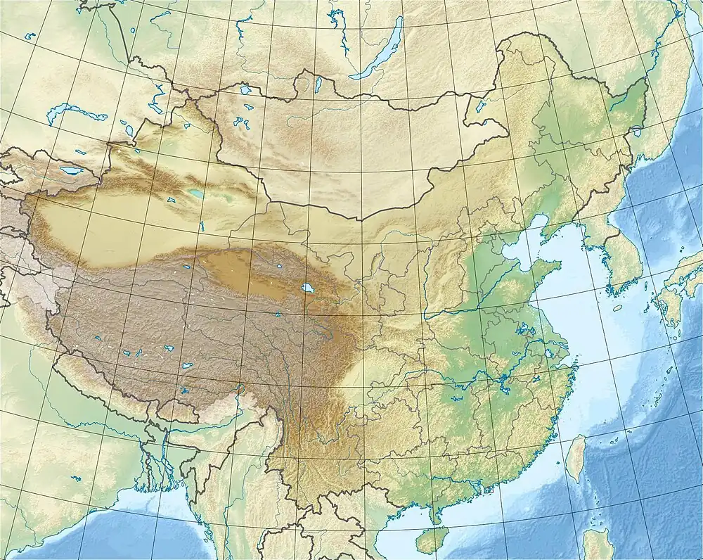 | |
Tetima Hu (chiń. upr. 台特玛湖; pinyin Táitèmǎ Hú) – jezioro w Chinach, położone w południowo-wschodniej części Kotliny Kaszgarskiej[2]. Uchodzą do niego rzeki Tarym[3] i Czerczen-daria[4]. W wyniku nieracjonalnej eksploatacji obszarów wzdłuż rzeki Tarym, jezioro wyschło w 1972 roku[5], jednak dzięki późniejszej odbudowie ekosystemu rzeki przez rząd Chin na początku XXI wieku udało się dokonać jego rewitalizacji[6][7]. W 2019 roku powierzchnia jeziora wynosiła od 267,27 do 455,27 km²[8].
Przypisy
- ↑ WANG Shanshan i inni, Land use/land cover change responses to ecological water conveyance in the lower reaches of Tarim River, China [online], styczeń 2021, s. 3 [dostęp 2025-03-22] (ang.).
- ↑ Anwar Rahman, Sinicization Beyond the Great Wall: China's Xinjiang Uighur Autonomous Region, Troubador Publishing Ltd, 2005, s. 144, ISBN 978-1-904744-88-7 [dostęp 2025-03-22] (ang.).
- ↑ Internet Archive, Travel around China : [the guide to exploring the sites, the cities, the provinces, and more], New York : Collins, 2008, s. 210, ISBN 978-0-06-147354-8 [dostęp 2025-03-22] (ang.).
- ↑ Czerczen-daria, [w:] Encyklopedia PWN [online], Wydawnictwo Naukowe PWN [dostęp 2025-03-22].
- ↑ Italy) International Conference on Sustainable Planning and Development (2nd : 2005 : Bologna, Sustainable planning and development II, Southampton : WIT, 2005, s. 757, ISBN 978-1-84564-051-4 [dostęp 2025-03-22] (ang.).
- ↑ Lei Chen, Managing water resources for people's livelihood and sustainable development : selected articles and speeches, Beijing : China Water & Power Press ; London : Imperial College Press, 2012, s. 216, ISBN 978-1-84816-941-8 [dostęp 2025-03-22] (ang.).
- ↑ C. (Contributions from: Bubb Ed. Nellermann, The Fall of the Water: Emerging Threats to the Water Resources and Biodiversity at the Roof of the World To Asia's Lowland From Land-Use Changes Associated With Large Scale Settlement And Piecemeal Development, UNEP GRID Arendal, 2004, s. 16 [dostęp 2025-03-22] (ang.).
- ↑ 邹珊, 塔里木河下游生态输水对地表水体面积变化的影响 [online], czerwiec 2021 [dostęp 2025-03-22] (chiń. • ang.).