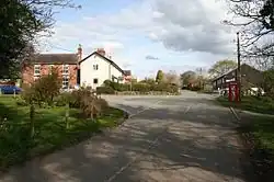
Chorlton (Cheshire West and Chester)
 | |
| Państwo | |
|---|---|
| Kraj | |
| Region | |
| Hrabstwo ceremonialne | |
| Unitary authority | |
| Populacja (2011) • liczba ludności |
|
| Nr kierunkowy |
01948 |
| Kod pocztowy |
SY14 |
Położenie na mapie Cheshire 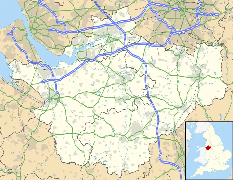 | |
Położenie na mapie Wielkiej Brytanii  | |
Położenie na mapie Anglii  | |
Chorlton – wieś w Anglii, w hrabstwie ceremonialnym Cheshire, w dystrykcie (ang. unitary authority) Cheshire West and Chester. Leży 20 km na południe od miasta Chester i 249 km na północny zachód od Londynu[1].
Do lokalnych zabytków należą Chorlton Hall[2] i Chorlton Old Hall[3].
W 2001 r. miejscowość liczyła 68 mieszkańców, która wg spisu z 2011 r. wzrosła do 124[4].
Przypisy
- ↑ Chorlton na mapie. getamap.ordnancesurvey.co.uk. [dostęp 2010-10-06]. (ang.).
- ↑ Historic England. "Chorlton Hall (1330593)". National Heritage List for England. Retrieved 24 September 2020.
- ↑ Historic England. "Chorlton Old Hall (1330594)". National Heritage List for England. Retrieved 24 September 2020
- ↑ UK Census (2011). "Local Area Report – Chorlton Parish (E04011064)". Nomis. Office for National Statistics. Retrieved 24 September 2020.