Keemathanka
| gaun wikas samiti | |
| Państwo | |
|---|---|
| Strefa | |
| Dystrykt | |
| Populacja (2001) • liczba ludności |
|
Położenie na mapie Nepalu 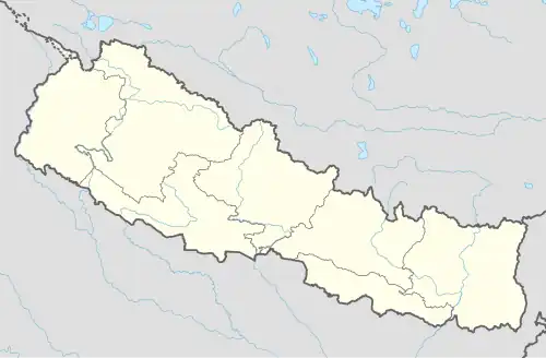 | |
Keemathanka (Kimathanka, Keemathnka) – gaun wikas samiti we wschodniej części Nepalu w strefie Kośi w dystrykcie Sankhuwasabha[1]. Według nepalskiego spisu powszechnego z 2001 roku liczył on 53 gospodarstw domowych i 317 mieszkańców (158 kobiet i 159 mężczyzn)[2]. Leży przy granicy z Chinami nad rzeką Arun[3].
Przypisy
- ↑ Index of Geographical names of Nepal - Eastern Development Region - Volume I. National Geographic Information Infrastructure Programme. [dostęp 2010-09-27]. (ang.).
- ↑ VDC’s population. National Association of Village Development Committees in Nepal (NAVIN). [dostęp 2020-10-12]. (ang.).
- ↑ Arun Valley Trek / Bhot Khola Trek / Hatiya Kimathanka Trek [online], Earth Paradise.
![]()