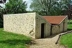
La Celle-sous-Montmirail
| miejscowość | |
 | |
| Państwo | |
|---|---|
| Region | |
| Departament | |
| Okręg | |
| Kanton |
Condé-en-Brie |
| Kod INSEE |
02147 |
| Mer |
René Obert (2014–2020) |
| Powierzchnia |
5,67 km² |
| Wysokość |
107–184 m n.p.m. |
| Populacja (2013) • liczba ludności |
|
| Kod pocztowy |
02540 |
Położenie na mapie Aisne  | |
Położenie na mapie Francji 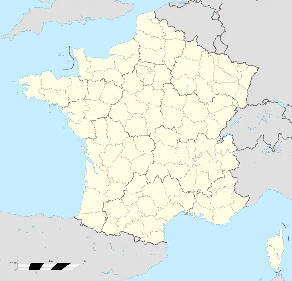 | |
Położenie na mapie regionu Hauts-de-France  | |
La Celle-sous-Montmirail – miejscowość i dawna gmina we Francji, w regionie Hauts-de-France, w departamencie Aisne. W dniu 1 stycznia 2016 roku z połączenia czterech ówczesnych gmin – Artonges, La Celle-sous-Montmirail, Fontenelle-en-Brie oraz Marchais-en-Brie – powstała nowa gmina Dhuys et Morin-en-Brie[1]. W 2013 roku populacja La Celle-sous-Montmirail wynosiła 117 mieszkańców[2].
Przypisy
- ↑ Recueil des actes administratifs. aisne.gouv.fr. [dostęp 2016-11-15]. (fr.).
- ↑ Populations légales 2013 - 02147-La Celle-sous-Montmirail. INSEE. [dostęp 2016-11-15]. (fr.).