Le Fuilet
| miejscowość | |||
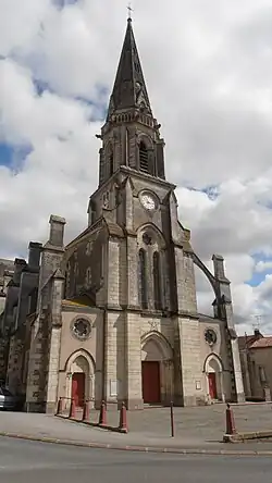 Kościół w Le Fuilet | |||
| |||
| Państwo | |||
|---|---|---|---|
| Region | |||
| Departament | |||
| Okręg | |||
| Kod INSEE |
49145 | ||
| Powierzchnia |
15,48 km² | ||
| Populacja (2008) • liczba ludności |
| ||
| Kod pocztowy |
49270 | ||
Położenie na mapie Maine i Loary  | |||
Położenie na mapie Francji 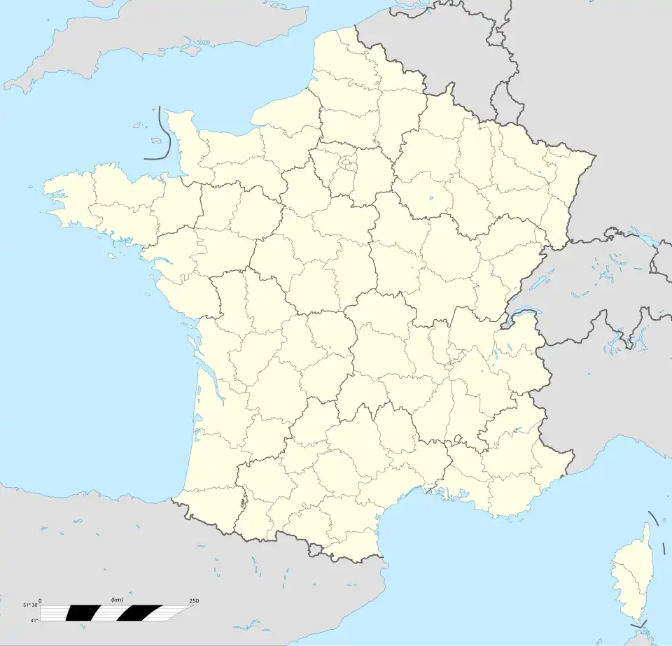 | |||
Położenie na mapie Kraju Loary  | |||

Le Fuilet – miejscowość i dawna gmina we Francji, w regionie Kraj Loary, w departamencie Maine i Loara. W 2008 roku liczba ludności wynosiła 1911 mieszkańców[1].
W dniu 15 grudnia 2015 roku z połączenia 11 ówczesnych gmin – La Boissière-sur-Èvre, Chaudron-en-Mauges, La Chaussaire, Le Fief-Sauvin, Le Fuilet, Montrevault, Le Puiset-Doré, Saint-Pierre-Montlimart, Saint-Quentin-en-Mauges, Saint-Rémy-en-Mauges oraz La Salle-et-Chapelle-Aubry – utworzono nową gminę Montrevault-sur-Èvre. Siedzibą gminy została miejscowość Montrevault[2].
Przypisy
- ↑ Populations légales 2013. INSEE. [dostęp 2017-01-14]. (fr.).
- ↑ Arrêté du 5 octobre 2015 portant création de la commune nouvelle de Montrevault-sur-Èvre. Legifrance. [dostęp 2017-01-15]. (fr.).