Yelden
 | |
| Państwo | |
|---|---|
| Kraj | |
| Region | |
| Hrabstwo ceremonialne | |
| Unitary authority | |
| Nr kierunkowy |
01933 |
| Kod pocztowy |
MK44 |
Położenie na mapie Bedfordshire  | |
Położenie na mapie Wielkiej Brytanii  | |
Położenie na mapie Anglii  | |
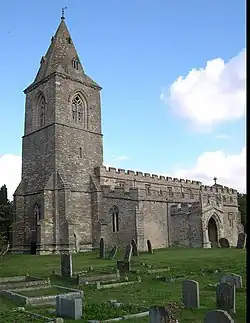
Yelden – wieś w Anglii, w hrabstwie ceremonialnym Bedfordshire, w dystrykcie (unitary authority) Bedford, w civil parish Melchbourne and Yielden[1]. Leży 18 km na północ od centrum miasta Bedford i 91 km na północ od centrum Londynu[2]. W 1931 roku civil parish liczyła 150 mieszkańców[3]. Yelden jest wspomniana w Domesday Book (1086) jako Giveldene[4].
Przypisy
- ↑ Relationships and changes Yelden AP/CP through time. A Vision of Britain through Time. [dostęp 2023-02-02]. (ang.).
- ↑ Yelden na mapie. getamap.ordnancesurvey.co.uk. [dostęp 2010-10-01].
- ↑ Total population Yelden AP/CP through time. Vision of Britain. [dostęp 2023-02-02]. (ang.).
- ↑ Bedfordshire K-Z. The Domesday Book online. [dostęp 2023-02-02]. (ang.).